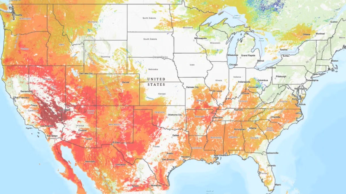
Since dryness is a critical driver of wildfires, a team of NSF NCAR scientists created a wildfire risk map, updated in real time & open source, to show a detailed view of the moisture content of different types of vegetation across the US & adjacent areas.
bit.ly/4hAfW8Z